Talleyrand Marine Terminal
- Home
- >
- Cargo
- >
- Facilities
- >
- Talleyrand Marine Terminal
| FACILITY | CONTACT |
|---|---|
| Terminal Operations Manager Ron Alford |
(904) 357-3206 (904) 235-1870 |
| Talleyrand Main Gate | 2085 Talleyrand Ave. Jacksonville, FL 32206 Map |
| Talleyrand North Gate | 3001 Talleyrand Ave. Jacksonville, FL 32206 Map |
| JAXPORT Corporate Headquarters | (904) 357-3000 info@jaxport.com |
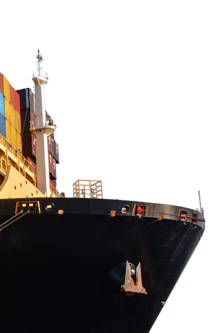
Port tenants at JAXPORT’s Talleyrand Marine Terminal (TMT) move a variety of cargoes, including containerized freight, autos, breakbulk and liquid bulk products.
Located 20.9 nautical miles (38.9 km) from the sea buoy with 4,780 linear feet (1,457 m) of berthing space, the terminal features three post-Panamax container cranes and three Panamax cranes.
The terminal also offers more than 700,000 square feet of warehousing space and an on-dock intermodal container transfer facility. The intermodal yard provides direct switching to CSX and Norfolk Southern and proximity to Florida East Coast Railroad’s intermodal ramp.
Jacksonville Port Terminal Railroad, part of Watco Companies, operates on-dock rail at TMT and the connecting 10-mile short line, which is ideal for handling intermodal containers, automobiles, chemicals, farm and food products, and pulp and paper to and from the port.
View and compare all JAXPORT terminal technical specifications.